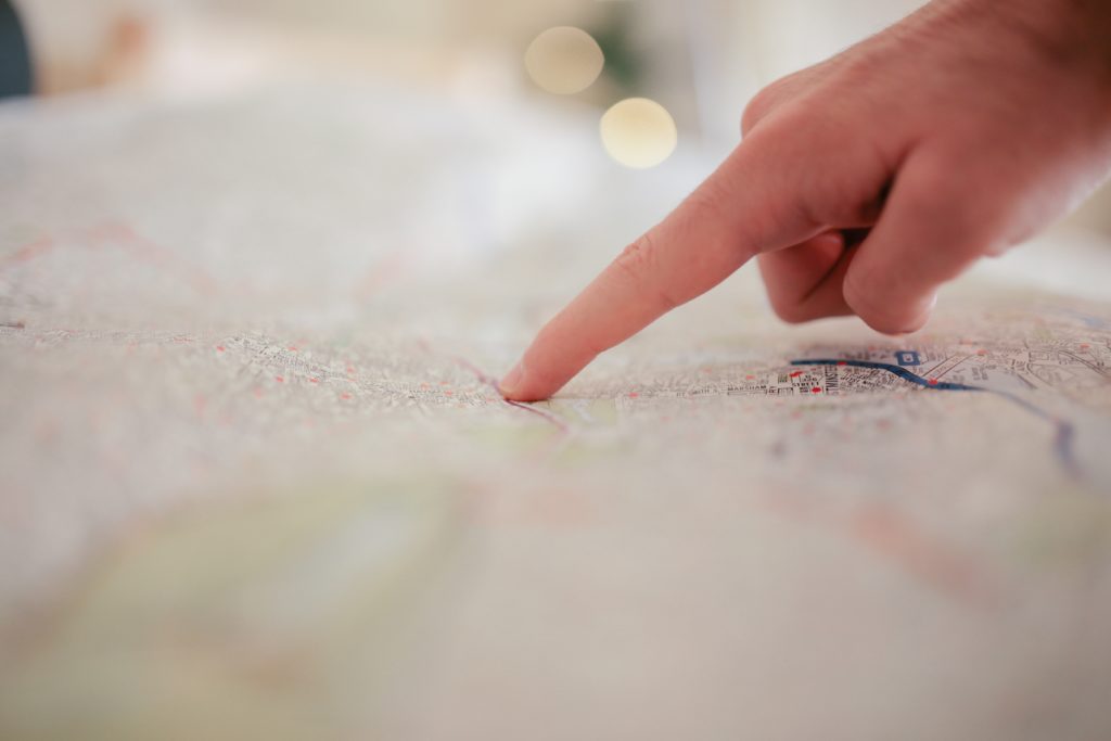
Satellite imagery has never been as prevalent or accessible. Not only can it be extremely helpful in gaining a better understanding of the location of a cold case, but satellite tools can help identify past environments, changes in the landscape, or variations over time. Examining these images can complement other research, possibly providing corroborating evidence.
Google Earth Outreach hosts several easy trainings to gain greater knowledge related to topics ranging from creating image overlays to how to save unique camera angles to placemark locations. Another great Google project—Google Earth Timelapse—lets you see how the world has changed over the decades. This is great for looking at locations for a case over the years to see how the surroundings have changed.
Consider these options for downloadable imagery:
Satellite imagery can also serve as a great reference item to corroborate videos or other images especially if they contain wide shots that might include landmarks, monuments, or distinguishable natural (or man-made) features such as bodies of water, tree formations, or even streets and vacant lots.
Featured satellite imagery resources:
OpenRailwayMap
An OpenStreetMap-based project for creating a map of the world’s railway infrastructure. www.openrailwaymap.org
Mapillary
The street-level imagery platform that scales and automates mapping using collaboration, cameras, and computer vision. www.mapillary.com
Satellites Pro
A satellite-mapped view of the world featuring a ruler for distance measuring, an easy way to find your location, and even weather. satellites.pro
ShadowCalculator
You can identify the sun’s position on Google Maps. This desktop app can predict the size of shadows at different times of the day for Google Maps location to assist in time-stamping events captured in images. shadowcalculator.eu
World Imagery Wayback App
This app lets you browse past archived versions of the World Imagery base maps. That means you can compare features that might have changed over time, identify patterns, or even confirm other features that will validate a location. LEARN MORE
Finding accurate information in a safe and thoughtful way on cold cases is the first step in online sleuthing. We’ve compiled a Citizen Detective guide to help you sharpen your skills, download it today to build your digital toolkit and moving up in the detective ranks.